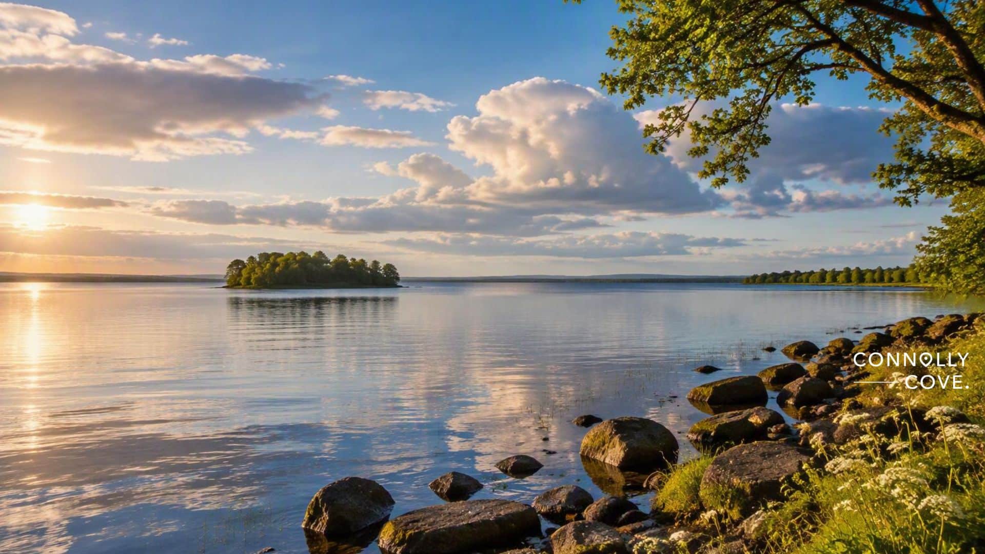


Article Summary
The green heart of the Emerald Isle is the inland middle of Ireland: bogs, lakes, slow rivers and low hills, with the Hill of Uisneach at its mythic centre.
What this article covers: What the phrase means, where to find Ireland’s green heart on a map, and how to travel through the midlands at an easy pace.
Who this is for: Travellers who have already seen the west coast, heritage visitors tracing midland roots, and anyone curious about the Ireland between the airport and the cliffs.
Key takeaway: Ireland’s greenest stories lie inland, in the bogs and hills of Westmeath, Offaly, Longford and Laois, and they reward visitors who slow down.
Expert insight: “People expect the Midlands to be the bit you drive through. Then they stand on the Clara boardwalk on a still evening, hear nothing but skylarks, and ask why nobody mentioned it.”- Ciaran Connolly, Founder of ConnollyCove.
Quick facts:
- William Drennan, a Belfast-born doctor, is usually credited with first calling Ireland the “Emerald Isle” in his 1795 poem When Erin First Rose.
- Irish tradition places the sacred centre of the island at the Hill of Uisneach in County Westmeath.
- The Corlea Trackway in County Longford is an oak road laid across a bog in 148 BC.
The green heart of the Emerald Isle is the part of Ireland most visitors never stop in. They land in Dublin, head west for the cliffs and cross the midlands at motorway speed. Fair enough, the coast is spectacular. But the flat, wet middle of the country holds its mythic centre, its oldest surviving road and some of its best-kept bogs.
This guide stays inland. For the science behind the island’s colour, ConnollyCove’s explainer on why Ireland is so green covers the rain, the rock and the Gulf Stream. Here, the focus is on where that green runs deepest and how to see it properly.
Table of Contents
What Is the Green Heart of the Emerald Isle?
The green heart of the Emerald Isle is Ireland’s inland basin: the Shannon lakes, raised bogs and low hills of the midlands. “Emerald Isle” describes the whole island’s colour. The “heart” points to its physical and mythic centre around the Hill of Uisneach.
The nickname has a political backstory. William Drennan was a Belfast doctor and a founding member of the United Irishmen. His 1795 poem When Erin First Rose was about national identity, and the phrase outlived the politics by two centuries.
Fáilte Ireland now markets much of this region as Ireland’s Hidden Heartlands, a name for the counties along the River Shannon. ConnollyCove is an Ireland-based travel and culture platform, and our midlands coverage keeps coming back to one point: the centre of the country is where landscape, myth and farming overlap most closely.
The Hill of Uisneach: Ireland’s Mythic Centre
If Ireland has a literal heart, Uisneach (OOSH-nukh) is it. The hill near Mullingar in County Westmeath reaches only 182 metres. Even so, tradition treats it as the place where the ancient provinces met.
The Catstone and the Goddess Ériu
The hill’s focal point is Ail na Míreann, the Stone of Divisions, a huge cracked boulder known locally as the Catstone. Tradition links it to Ériu, the goddess whose name survives in Éire, and some tellings say she lies buried beneath it. Uisneach also appears in stories of the Tuatha Dé Danann. For Ériu’s place among the old deities, see ConnollyCove’s guide to the Celtic gods and goddesses of Ireland.
Bealtaine Fires
Uisneach is best known for fire. Bealtaine, the festival marking the start of summer, has been revived here with a fire festival each May. The hill is private working farmland, so visits run as guided tours and you need to book. Our guide to the Celtic festivals of fire explains the calendar and how to time a trip.
Where to Go in Ireland’s Hidden Heartlands
Three areas give the clearest sense of the green heart: the Shannon around Athlone, the Slieve Bloom Mountains and the bogs of Longford and Offaly. All lie within about an hour’s drive of each other.
The Shannon, Lough Ree and Clonmacnoise
Athlone makes the practical base. The town straddles the Shannon at the southern tip of Lough Ree, and summer boat trips head north onto the lake. Half an hour south, Clonmacnoise (Cluain Mhic Nóis) overlooks the river where St Ciarán founded his monastery around 544. Give its round towers and high crosses a slow morning. ConnollyCove’s overview of Ireland’s ancient monastic sites puts it in wider context.
The Slieve Bloom Mountains
The Slieve Blooms rise out of flat farmland on the Laois and Offaly border. They’re modest in height, with Arderin, the highest point, at 527 metres. The Slieve Bloom Way, a waymarked loop of about 70 kilometres, links villages such as Kinnitty and Cadamstown. For a shorter walk, follow the river trail at Glenbarrow. There’s more on these slopes in our piece on Irish forests.
The Corlea Trackway
This is the oddest stop, and possibly the best. Near Kenagh in County Longford, Iron Age builders laid heavy oak planks across the bog in 148 BC. An 18-metre stretch is preserved indoors, and Heritage Ireland’s Corlea page lists opening times and guided bog walks.
The planks didn’t last long as a road. Within a few years they sank into the soft peat, and that’s exactly why they survived: the bog kept out the air that would have rotted the oak. Some researchers believe the trackway served as a ceremonial route, possibly linking the Hill of Uisneach with Rathcroghan, the royal site in County Roscommon. That link is still debated, so treat it as a theory. The guided walk across the bog outside takes about an hour and a half. The ground can be soft underfoot even in July, so bring waterproof boots.
| Wild Atlantic coast | The green heart | |
|---|---|---|
| Scenery | Cliffs, beaches, mountain passes | Bogs, lakes, river meadows, low hills |
| Summer crowds | Heavy at headline sites | Generally light |
| Pace | Long driving days | Short drives, walking, boating |
| Heritage | Island monasteries, forts | Royal hills, bog roads, river monasteries |
Bogs, Woodland and the Honest Picture of Irish Green
Plenty of Ireland’s green is grazing pasture. Forest cover is low by European standards, and much of it is commercial conifer plantation. The midland raised bogs show you something far older.
Clara Bog in County Offaly is one of the largest surviving raised bogs in Ireland, and a boardwalk takes you across its surface. In early summer, look for bog cotton and the sticky red leaves of sundew. Bogs like this store vast amounts of carbon, which is why many cut-over midland bogs are now being rewetted.
“We first walked Clara in steady drizzle, and it didn’t matter one bit. The bog is the reason the middle of Ireland looks the way it does. It took thousands of years to form, and seeing a living one changes how you read the brown patches on the drive in.”, Ciaran Connolly, Founder of ConnollyCove.
Stay on the boardwalks, take litter home and keep dogs on leads during nesting season.
Planning a Slow Trip Through the Midlands
Four days cover the green heart without rushing. Trains run from Dublin Heuston to Athlone, though a car makes the bogs and hills far easier to reach.
A simple plan might look like this:
- Day one: Athlone and Lough Ree
- Day two: Clonmacnoise and Clara Bog
- Day three: Uisneach and Corlea
- Day four: walking in the Slieve Blooms
For extra stops, try our list of things to do in Laois.
May brings the Bealtaine festival and long evenings. June to August suits boating and hill walking. Spring and autumn are quieter. Winter brings mist over Clonmacnoise and flooded callows along the Shannon, but some heritage centres close or shorten their hours, so check times before you set off.
Explore More Irish Heritage
ConnollyCove produces guides to Irish heritage, Celtic mythology and travel across Ireland and beyond. If Uisneach caught your imagination, read our guide to legendary creatures of Celtic mythology, or take a wider look at the Irish countryside before you plan your route. Our YouTube channel also documents heritage sites across the island.
FAQs About the Green Heart of the Emerald Isle
Short answers to what travellers ask most about Ireland’s green midlands, from the Emerald Isle name to the best time to go.
Why is Ireland called the Emerald Isle?
The name is usually credited to William Drennan’s 1795 poem When Erin First Rose. It stuck because rain keeps the island green all year.
Where is the centre of Ireland?
The Hill of Uisneach in County Westmeath is the island’s traditional sacred centre. It also lies close to the geographical centre.
What are Ireland’s Hidden Heartlands?
It’s Fáilte Ireland’s tourism name for the inland counties, lakes and rivers along the Shannon.
Are there real emeralds in Ireland?
No, Ireland isn’t a source of emerald gemstones. The nickname refers only to the colour of the land.