

The Vikings’ Exploration 101 of the New World: Unveiling Pre-Columbian Voyages
Updated On: April 24, 2024 by  Fatma Mohamed
The exploration of the New World is often attributed to Christopher Columbus, but recent evidence has solidified the understanding that Norse sailors, commonly known as Vikings, reached the centuries shores of North America earlier. These voyages, predating Columbus by about 500 years, rewrote the history of European exploration of the Americas. The Norsemen, originating from what is now Scandinavia, were accomplished mariners who ventured into the North Atlantic, establishing colonies in far-flung locations such as Greenland.
At the heart of these voyages was the drive to discover and exploit new resources, which led figures like Erik the Red to establish settlements in Greenland and his son, Leif Eriksson, to voyage even further west. It was during one of these expeditions that the Norse stumbled upon lands that were previously unknown to Europeans. Their encounters with the Americas have been chronicled in historical narratives known as the Sagas, which, alongside archaeological findings, such as those at L’Anse aux Meadows in Newfoundland, Canada, provide compelling proof of their presence in the New World.
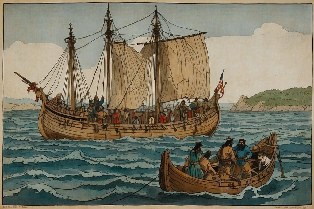
The Norse settlements in the New World were not permanent, and their interactions with the indigenous peoples, as well as the environmental and climatic challenges they faced, played a part in the eventual decline of their presence in North America. Nevertheless, the legacy of Norse exploration has important implications for our understanding of global history and the capabilities of seafaring cultures long before the more famous expeditions of Columbus and other European explorers.
Table of Contents
Origins of Norse Seafaring
Before we venture into the depths of our exploration of the Vikings, it’s essential to understand the roots of their marine voyages and the sophisticated navigation techniques that defined Norse culture.
The Viking Age
During the Viking Age, which spanned from the late 8th to the early 11th century, Scandinavia witnessed a remarkable transformation. The Vikings, originating from Norway, Denmark, and Sweden, built an enduring legacy of seafaring expertise. They crafted versatile vessels like the longship, which was not only pivotal for conducting raids but also for exploring uncharted territories. Such ships were robust, yet nimble, able to traverse vast oceans and navigate narrow rivers alike.
Development of Nordic Maritime Navigation
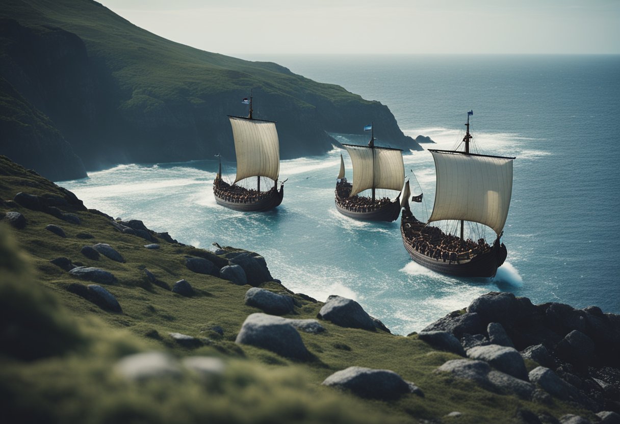
The Vikings were formidable navigators. Their skills stemmed from an intimate understanding of the sea and sky. They utilised the sun’s position, the colour of the ocean, and the flight patterns of birds to guide them. Knowledge of stars and the use of rudimentary navigational instruments like the sunstone and the notched stick known as a “sun board” also contributed to their prowess in reaching distant shores long before Europeans were to boldly set out to discover new continents.
Erik the Red and Greenland Colony
Erik the Red was pivotal in establishing the first Norse settlement in Greenland, and this initiated a new chapter in Viking exploration and trade, laying the groundwork for later voyages to the New World.
Brattahlid Settlement
Brattahlid, now known as Qassiarsuk, was the centre of Erik the Red’s Greenland colony. Founded in c. 985, it lay in fertile Eriksfjord and became a hub for the nascent Norse community. The settlement served as both a homestead and a springboard for further exploration. Erik’s introduction of Christianity added a new dimension to the Norse culture, which eventually saw the erection of the first church in Greenland. The remains of Brattahlid exhibit a clear shift, indicating the change from pagan to Christian beliefs.
Greenland’s Role in Exploration
Greenland proved to be more than just a new home for the Vikings; it became a critical waypoint for expeditions to even more distant shores. From the trade in valuable commodities like walrus ivory, Norse explorers – including those from Erik’s lineage – were poised to reach further west. Leif Erikson, Erik’s son, embarked from Greenland to discover Vinland, located in present-day Newfoundland, making the Greenland colony an essential link in pre-Columbian transatlantic exploration.
Leif Eriksson’s Voyage to Vinland
Before Christopher Columbus set sail, Leif Eriksson undertook a significant voyage, reaching the shores of what he named Vinland. This area is believed to correspond with modern-day coastal regions in North America.
Discovery of Baffin Island and Labrador
It is through the Norse sagas and historical narratives that we get a glimpse of these explorations. Eriksson, following on from previous Norse voyages, is thought to have first encountered Baffin Island and Labrador. These regions would have been the initial North American lands witnessed by European eyes centuries before Columbus. Labrador, with its rugged coasts and abundant resources, may have served as a crucial waypoint during his expedition.
L’Anse aux Meadows: A Viking Base Camp
At the heart of Eriksson’s exploits is L’Anse aux Meadows. This site, located at the northern tip of Newfoundland, is a definitive archaeological proof of Norse presence in the New World. Excavations have revealed the remnants of what appears to be a Norse settlement, complete with structures that may have been used as workshops or dwellings. These findings solidify Eriksson’s legacy as the leader of the first known European expedition to set foot in North America in a place they named Vinland due to the wild grapes they found.
These ventures were no small feat and underscored the extensive seafaring skills of the Norse. From the rugged lands of Greenland to the mysterious coasts of Vinland, Eriksson’s voyage set a precedent in the annals of exploration, predating Columbus by nearly 500 years.
Archaeological Evidence in North America
In this section, we explore the concrete traces left by Vikings on North American soil, shedding light on their presence long before Columbus set sail.
Helge and Anne Stine Ingstad’s Discoveries
We credit Norwegian archaeologist Helge Ingstad and his wife, Anne Stine Ingstad, with the groundbreaking discovery of a Viking site at L’Anse aux Meadows in Newfoundland, Canada. In 1960, their meticulous excavation efforts unearthed evidence of Norse presence, such as sod buildings and artefacts that solidified the Norse as the first Europeans to reach North America over a millennium ago. This seminal finding is a testament to the pioneering efforts of the Ingstads and has since been designated a UNESCO World Heritage site.
Point Rosee and Satellite Imagery
Recent developments have brought the Point Rosee site into the fray, as suggested by satellite imagery, as a potential second Norse settlement. Archaeologists, utilising advances in technology, have identified this location in southwestern Newfoundland through distinctive patterns consistent with Norse buildings. Although excavations are ongoing, the intrigue around Point Rosee may illuminate additional chapters of Viking exploration in Canada, adding a new layer to our understanding of these intrepid navigators.
The Sagas and Historical Accounts
We turn now to the Norse sagas, which provide us with the most comprehensive historical accounts of the Vikings’ exploration of the New World before Columbus. These sagas, written in Iceland during the 13th and 14th centuries, offer a narrative of events that are believed to have taken place several hundred years prior, detailing the daring voyages made by Norse seafarers and their encounters with the lands to the West.
Saga of Erik the Red
The Saga of Erik the Red is pivotal in chronicling the Norse discovery of Greenland. It narrates the adventures of Erik the Red, who, after being exiled from Iceland, sailed westward and founded the first Norse settlements in Greenland. The saga is rich with descriptions of the new land, the establishment of colonies, and interactions with the indigenous people, often called Skrælings.
Saga of the Greenlanders
Conversely, the Saga of the Greenlanders details the further exploration of lands beyond Greenland. It recounts the voyages led by Leif Erikson, the son of Erik the Red, who is credited with the discovery of Vinland—often identified as part of North America. This saga, along with various archaeological findings, underscores the Norse presence in the New World around the year 1000 A.D.
By examining these Norse sagas, we grow to appreciate the Norsemen’s seafaring prowess and their bold explorations, which predate Columbus’s arrival almost five centuries ago.
Interactions with Indigenous Peoples
Before we journey into the encounters between the Vikings and the indigenous peoples, we must acknowledge that these interactions were complex, marked by both trade and conflict. The Norse sagas, coupled with archaeological evidence, offer us glimpses into these early chapters of transatlantic history.
Encounters with the Skræling
When the Vikings reached the shores of the New World, they encountered the native populations they referred to as Skræling. Our understanding of these interactions is primarily based on the sagas, which recount various instances of contact. Notably, these sagas describe the Skræling as being initially curious and eager to engage. It’s clear that there was a mutual interest between the two groups, as the indigenous peoples were as fascinated by the newcomers as the Vikings were by them.
Trade and Conflict Dynamics
The relationship between the Vikings and the indigenous peoples evolved over time, encompassing both trade and conflict. Artefacts such as Norse tools and native commodities discovered at sites like L’Anse aux Meadows provide tangible proof of exchange between the two cultures. However, it wasn’t all peaceful coexistence. Conflicts did arise, possibly triggered by misunderstandings or resource competition. Despite these clashes, there were periods when both groups were able to share knowledge, such as navigational routes and survival techniques in the harsh environments they inhabited.
Our exploration into the Vikings’ New World encounters underscores the dynamic and multifaceted nature of their interactions with indigenous peoples. From the earliest moments of contact to the intricacies of trade and the spectre of conflict, every artefact and saga fragment brings us closer to understanding this pivotal era of global exploration.
Norse Settlements and Their Economy
In retracing the steps of the Norsemen beyond the shores of Greenland, we uncover the foundations of their settlements and the intricate economy that sustained them. At the heart of this exploration lies L’Anse aux Meadows, a well-known Norse settlement, where archaeological findings enlighten us on their lifestyle, agricultural practices, and trade in the New World prior to Columbus.
Life at L’Anse aux Meadows
At L’Anse aux Meadows, located at the northern tip of Newfoundland, we see evidence of a strategic Norse outpost that served as a hub for exploration into the continent. The remains of turf-built structures, which are aligned with Norse building traditions, suggest a small but thriving community. Within this settlement, iron-smithing played a crucial role, indicating a self-sufficient community skilled enough to repair their tools and ships—a vital aspect for survival and further exploration.
Agriculture and Trade
The Norse economy in the New World was not solely reliant on the resources extracted from their immediate environment. While they engaged in pastoral farming, what set them apart was their penchant for trade. Artefacts such as butternut shells found at L’Anse aux Meadows imply that they ventured south, possibly to regions where grapes and wild nuts were abundant, reflecting an adaptive approach to their newfound territories. Moreover, Greenland’s contribution to its economic stability cannot be understated, with its significance as a source of trade, particularly in furs, which were highly valued in Europe at that time.
Environmental and Climatic Challenges
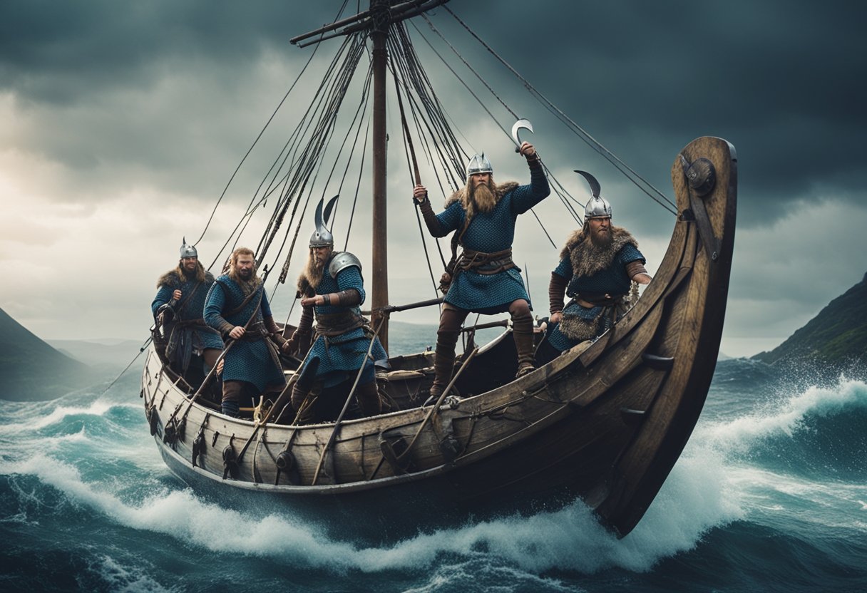
In our exploration of the Vikings’ ventures into the New World, it is imperative to understand the environmental and climatic challenges they faced. These challenges had profound impacts on their ability to establish and maintain their settlements in regions like Greenland and Vinland.
Little Ice Age Impact
The onset of the Little Ice Age in the late medieval period brought about significant cooling of the climate, primarily affecting the Northern Hemisphere. In Greenland, where the Norse settled, this cooling trend resulted in harsher winters and shorter growing seasons, which compromised pasture quality and livestock survival. With the expansion of sea ice, sailing between Greenland and the rest of Europe became increasingly perilous.
Sustainability of Norse Colonization
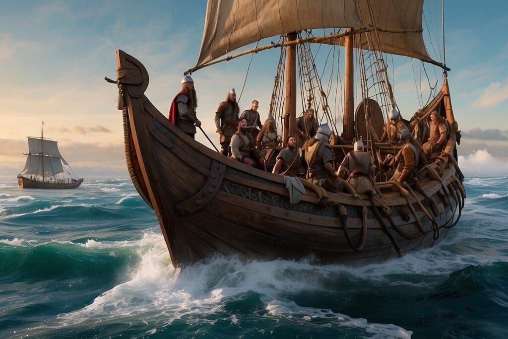
The Vikings’ settlement in Vinland was brief, likely due to a combination of environmental factors and limited resources. While Vinland offered milder conditions compared to Greenland, sustainable colonization was affected by limited arable land, which challenged agricultural activities. Seasonal variations and the unpredictability of resources led to difficulties in maintaining consistent food supplies, occasionally leading to famine. The resilience of their settlements was constantly tested by these fluctuating environmental conditions.
The Decline of Viking Presence in America
Before the arrival of Columbus, the Norsemen had already encountered the shores of the New World. However, their settlements did not endure, and the Viking presence in America eventually waned.
Factors Leading to Norse Withdrawal
Several key factors contributed to the Norse withdrawal from North American shores:
- Hostilities with indigenous peoples resulted in conflicts that the Norse were not equipped to sustain over a long period.
- Environmental hardships, such as harsher climatic conditions and limited resources, challenged the Norse settlers’ ability to thrive.
- Economic and social pressures back in Greenland and Europe also drew attention and resources away from the efforts to sustain distant outposts.
These elements combined to undermine the Viking expansion into the New World, leading to a gradual retraction of their transatlantic ventures.
The End of the Greenland Settlements
The Norse settlements in Greenland, which were once prosperous communities, faced a slow decline:
- The Western Settlement is thought to have been abandoned in the mid-14th century.
- The Eastern Settlement persisted a while longer but eventually succumbed to the same pressures, fading away by the late 15th century.
What exactly sealed the fate of the Greenland Norse is still a subject of intrigue, but documentary evidence indicates that trading with Europe diminished, which, paired with a cooling climate, spelt the end for the Viking presence in Greenland and, by extension, North America.
Comparison with Other European Explorers
Before we delve into the specifics, let’s consider the significant strides made by Viking explorers in the context of European exploration. These daring voyages across the treacherous Atlantic Ocean set a precedent for subsequent European explorers who sought to chart unknown territories and expand their understanding of the world.
John Cabot’s Voyages
John Cabot, unlike the Vikings, embarked on his expeditions during the Renaissance period, a time marked by heightened curiosity and technological advancements in navigation. His 1497 voyage aboard the Matthew was sanctioned by England’s Henry VII, and Cabot reached the coast of what is likely modern-day Newfoundland, firmly planting the European flag in North American soil—a monumental act that would have profound effects on future exploration and colonial ventures. Unlike the Vikings’ temporary settlements in North America, Cabot’s discoveries led to lasting interest in the continent and paved the way for further English exploration and eventual colonisation.
Christopher Columbus and the Age of Discovery
Christopher Columbus is often credited with the European discovery of the Americas, specifically landing in the Bahamas in 1492. His transatlantic voyages under the Spanish crown were part of the widespread European Age of Discovery—a period marked by extensive overseas exploration. Columbus’s initial goal was to find a westward maritime route to Asia, but instead, he encountered the American continents, kick-starting European exploration and eventual colonisation of the region. While the Vikings reached North America centuries earlier, Columbus’s journeys had a more enduring impact, signalling the start of deep-seated European influence and the eventual integration of the Americas into the global trade network.
Legacy of Norse Exploration
The Norse expeditions to the New World were pivotal in shaping European outlooks on global exploration and had lasting cultural and historical impacts.
Influence on Later European Ventures
The pioneering voyages of the Vikings, particularly to Greenland and Newfoundland, carved a path for future European explorations. Their exploration of the New World before Columbus is a testament to their maritime prowess. It’s widely accepted that Norse explorers reached the Atlantic coasts of what is now Canada, with Leif Eriksson’s journey being the most celebrated. These voyages not only expanded the geographic knowledge of Europeans but also demonstrated the potential for Atlantic maritime ventures, setting a precedent that would inspire explorers like Christopher Columbus.
Cultural and Historical Significance
The dynamic history of the Vikings is rich with tales of adventure and discovery. Their legacy in history extends beyond raiding and conquest to their contributions to the exploration seesaw of the New World. The stories of the Norse, embedded in the sagas and archaeological evidence, reinforce their central role in the Age of Exploration. Their settlement in the New World, albeit short-lived, stands as a crucial chapter in the European engagement with the Americas that reshaped history and cultures, providing a foundation for the centuries of transatlantic connections that followed.
Frequently Asked Questions
In this section, we’ll answer some of the pressing questions about Norse expeditions that predate Columbus’ voyage to the Americas.
What evidence exists to support the idea that the Vikings arrived in the New World prior to Columbus?
Archaeological finds, especially at L’Anse aux Meadows in Newfoundland, Canada, provide concrete evidence of Norse settlements. Radiocarbon dating indicates that the site was used around the year 1000 AD. Additionally, sagas and historical records have described the Vikings reaching a land they called Vinland, which many scholars agree was part of North America.
How did the Viking presence in America come to an end?
The reasons for the end of the Viking presence in North America are not completely clear but likely involve challenges such as resource scarcity, conflict with Indigenous peoples, and climatic changes. It is believed that their occupation was relatively short-lived and that they gradually abandoned their settlements in the New World.
What is the earliest recorded date of Viking exploration in North America?
According to evidence, the year 1021 AD stands as the earliest recorded date for Viking presence in North America. This is backed by scientific analysis of wood samples from the L’Anse aux Meadows site that were cut using Viking tools, confirming their presence around this time.
In what ways did Leif Erikson contribute to the Viking explorations of the New World?
Leif Erikson is often credited with leading one of the first known European expeditions to the North American continent. His journey to areas known as Helluland, Markland, and Vinland is particularly significant as these regions are commonly identified as Baffin Island, Labrador, and Newfoundland, respectively.
What pre-Columbian explorations did the Vikings undertake?
Before Columbus’ transatlantic journey, the Vikings travelled across the North Atlantic, establishing settlements in Iceland and Greenland. These voyages progressed further west into North America, with expeditions reaching as far as the present-day Canadian provinces of Newfoundland and Labrador.
How did the Vikings navigate to and explore the New World?
The Vikings relied on stellar navigation, using the sun’s position, the sea’s current, and their knowledge of the ocean’s winds to voyage across the North Atlantic. They constructed sturdy ships well-suited for long sea voyages and are believed to have explored the eastern coasts of North America by ship, venturing into both coastal and riverine areas.
Exploring The Town of Carrickfergus
County Antrim
29/04/2024

Commercial Court: The Dazzling Lights of Belfast
Northern Ireland
29/04/2024

How to Make a Killy Kiss Cocktail By Killyhevlin Hotel
Northern Ireland
28/04/2024

Middle East Travel Statistics from 2019 to Now
Middle East
28/04/2024

Exploring the Rich Heritage of Mining in Ireland
History and Heritage
28/04/2024