

Discover Phantom Islands: The Mysterious Cartographic Errors of History

Updated On: March 18, 2024 by  Fatma Mohamed
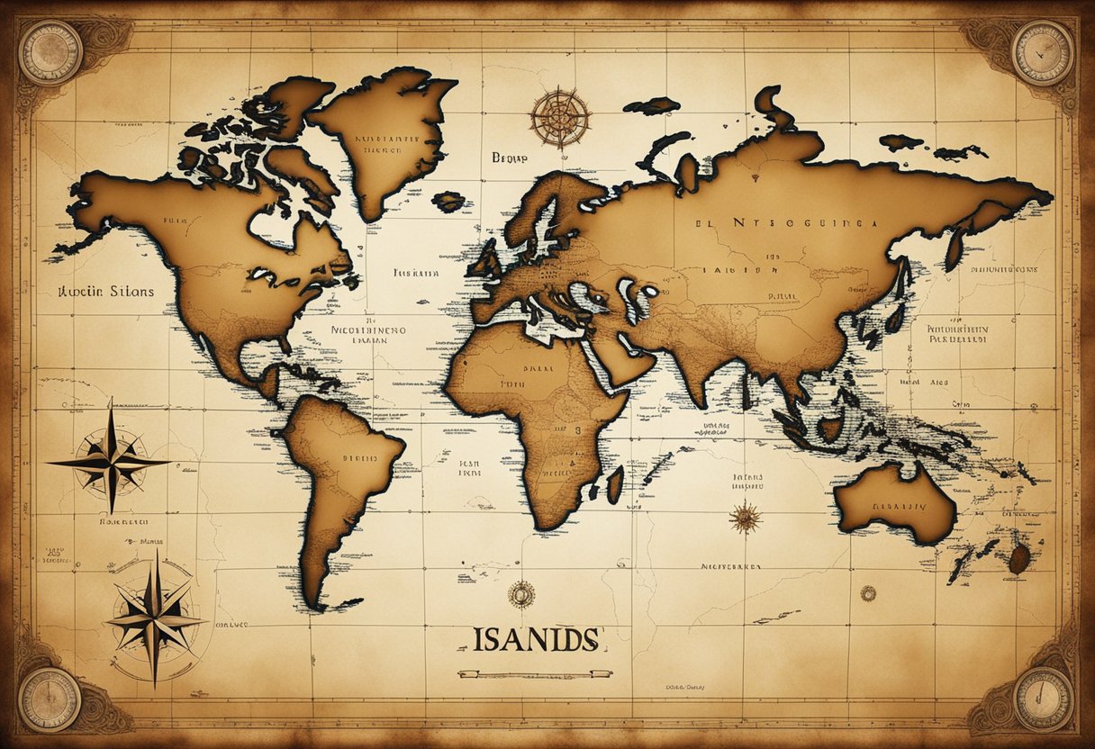
Phantom islands are a fascinating phenomenon where lands appeared on maps for centuries yet had no basis in reality. These islands were the result of navigational errors, misreported travels, or deliberate fabrications. Throughout the Age of Discovery and even into the 19th century, explorers and cartographers included these legendary locales on their charts, solidifying their existence in the public imagination. With each erroneous map, the myths of these islands grew, compelling more expeditions in search of lands that would vanish upon closer scrutiny.
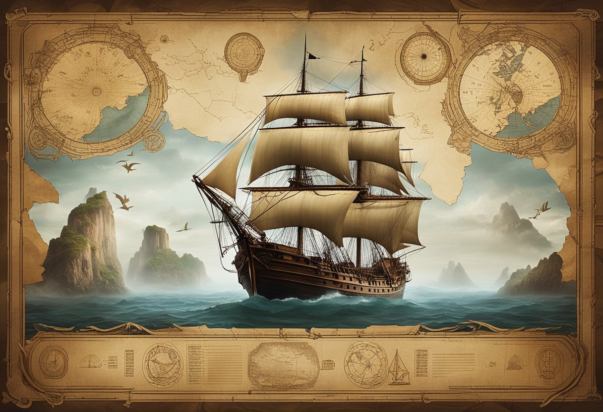
The allure of phantom islands is not merely a testament to human error but also reflects our innate love for mystery and exploration. As cartographic techniques improved, many of these islands disappeared from maps, yet their stories remain embedded in the history of navigation and exploration. Understanding these non-existent islands offers insight into the challenges of early map-making and the power of legend over empirical evidence. The investigation into why these islands were included on maps and why they persisted for so long tells a broader story about the evolution of geographic knowledge and the complex interplay between myth and reality.
Table of Contents
The Mystery of Phantom Islands
As we delve into the odd phenomenon of phantom islands, it’s essential to realise that these illusory lands have fascinated us due to their ghostly presence on historical maps and the tales tied to their supposed existence.
Cartographic Ghosts in History
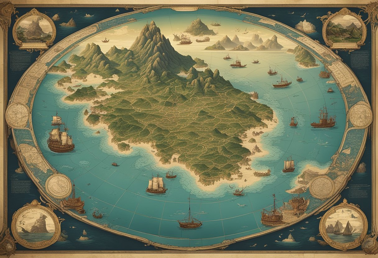
In the 16th century, the art and science of cartography were in a nascent state, and many maps included islands that had never been verified by subsequent exploration. Cartographers of the time often relied on the reports of sailors and explorers who, due to navigational errors or mistaken observations, unknowingly charted these non-existent lands. The phantom islands appeared on maps, sticking around for hundreds of years, sometimes before being erased from cartography and history alike.
One renowned example from the 19th century is the infamous Sandy Island, reported by a whaling ship and included on charts until a 2012 research expedition failed to locate it. Such instances reveal how geographical errors could persist in an age where cross-referencing and validation of information were extremely limited.
Legendary Lands and Maritime Myths
Mythical islands like Hy-Brasil, a phantom island said to lie off the west coast of Ireland, are legendary lands rooted in maritime myths and often stem from folklore rather than mistaken observations. These tales portrayed fantastical locations, sometimes believed to be inhabited by gods, monsters or enchanted people, which explorers and sailors sought, driven by the hope of discovery or treasure.
Despite their fictitious origins, these islands were sometimes included in serious nautical charts, showing how myth and reality blurred in the cartographic record. The endurance of these legends into modern times underlines the curious interplay between explorers’ stories and the maps created by cartographers, capturing the human desire to believe in and perhaps find uncharted paradises.
Exploring Notable Phantom Islands
In this section, we explore the fascinating phenomenon of phantom islands, once charted on maps but never truly existing. These enigmatic entries captivated explorers and sparked numerous quests for their discovery.
The Elusive Isle of Demons
Near Newfoundland, the Isle of Demons was believed to be a place of exile filled with supernatural creatures. Historical accounts suggest that it appeared on maps from the 16th century and, over time, became a symbol of the unknown perils that awaited sailors at sea. Find out more about the Isle of Demons and why it haunted the North American coastlines here.
Hy-Brasil: The Otherworldly Island
Legends claim that Hy-Brasil was a mysterious island west of Ireland, shrouded in mist and only visible every seven years. This geographical myth fuelled tales of an advanced civilization and insurmountable riches, becoming a persistent dot on the atlases of medieval Europe.
Thule and The Quest for the North
Thule was once described by ancient explorers as the northernmost land, often associated with icebergs and the far reaches of the world. It represented the ultimate boundary of the known world, tempting adventurers to seek out what lay beyond.
The Fascinating Case of Bermeja
Indeed, Bermeja is one of the phantom islands that has political implications. It was a supposed emerald-rich land off the Yucatán Peninsula, missing from modern maps but integral to territorial disputes between nations.
Sandy Island: A Modern Cartographic Anomaly
Even in modern times, phantom islands like Sandy Island have appeared on maps. This island in the Coral Sea was ‘undiscovered’ as recently as 2012 when an expedition found nothing but open waters where it should have been. Read about the cartographic errors leading to Sandy Island’s placement here.
Frisland: A Phantom Twin of Greenland
Frisland, a nonexistent island, was often included on maps as a sizeable landmass near Greenland. For almost a century, from the mid-1500s, it misled explorers before eventually being omitted from nautical charts.
Antillia and the Isle of Seven Cities
Intriguing tales surround Antillia and the Isle of Seven Cities. As legend has it, this was a refuge for Christians fleeing from the Moors, depicted on maps but whose existence was never validated.
The Island of California: A Persistent Error
The Island of California was a cartographic blunder that persisted for almost a century, with maps erroneously showing California as an island separated from the North American mainland by the so-called “Gulf of California.”
Cartography and Its Challenges
In our discussion, we’ll be examining the intricacies and challenges that mapmakers have faced throughout history, particularly those leading to the inclusion of non-existent lands, known as phantom islands, on maps.
Mapmakers’ Dilemmas
Historically, cartographers have operated with a blend of known facts and unproven data to chart the world. They often faced the dilemma of how to depict unexplored or poorly understood regions. Navigational errors were common, as sailors traversed vast and treacherous oceans with limited tools for accurate positioning. These errors could lead to reports of land where there was none, which cartographers then included on maps.
Misinterpretations and geographical errors also arose from second-hand rumours or intentional fabrications. Islands were sometimes invented to secure further funding from patrons or due to misunderstandings of travellers’ tales. Notably, the island of Frisland appeared on numerous maps in the 16th and 17th centuries because of such cartographic errors.
Navigating Beyond the Known World
Mapmakers and sailors shared the challenge of expanding the known world’s boundaries. Cartographers were at the mercy of the sailors’ accounts, who themselves grappled with the limits of contemporary navigation. They often encountered mirages or interpreted natural phenomena as evidence of undiscovered lands.
Moreover, the reliability of the sailors’ reports and the accuracy of the maps produced were inextricably linked. Sailors, reliant on these maps, could find themselves further perpetuating myths of phantom islands, such as the infamous Hy-Brasil and Sandy Island when they encountered navigational discrepancies.
Despite these challenges, our collective knowledge of the world’s geography has advanced significantly over time, yet the stories of cartographers and sailors wrestling with the unknown continue to captivate us.
The Role of Legends in Cartography
We live in a world where the lines between myth and reality are finely drawn, especially in the realm of cartography. Legends have often been captured in the very maps explorers used to navigate the unknown, leading to a rich tapestry of maritime fiction and fantasies that reflect our long-standing fascination with the world beyond our immediate perception.
Mythical Islands in Literature and Culture
Phantom islands, born from legends or fata morgana, have found their way onto maps and into our cultural consciousness. Take Antillia, a mythical island west of the Iberian Peninsula. A mirage of hope for people fleeing the Muslim conquest in 714, it transcended its legendary status to become a feature on maps. Linked to narratives of survival and discovery, it vanished from maps only after European explorers charted the Atlantic more accurately post-1492, as explained in this insight on legendary phantom islands.
Blurring Lines Between Reality and Fantasy
The incorporation of these islands into cartography did more than just fill out the edges of the known world; it brought an element of counterfactual history to our understanding of geography. Phantom islands like Frisland were depicted with striking detail on 16th and 17th-century maps, suggesting a blurring of lines between reality and fantasy, opening discussions on the veracity of cartographic evidence. Despite later clarification of their non-existence, as noted by the Library of Congress, these islands challenge our perception of history and exploration.
Scientific Explanations for Phantom Islands
Phantom islands are not the stuff of myth; rather, a combination of optic distortions, navigational inaccuracies, and genuine geographical misunderstandings have led mapmakers of the past to chart islands that were later proven non-existent.
Optical Illusions and Natural Phenomena
It’s well-documented that natural phenomena such as fog, mirages, and especially complex illusions known as Fata Morgana can play tricks on the eyes of sailors. A mirage can create the appearance of land where there is none, often convincing observers of sightings that turn out to be illusory. Fog can also obscure vision, leading mariners to misinterpret what they see, contributing to the lore of non-existent lands.
Geographical Misinterpretations
Navigational errors are a significant source of the phantom island phenomenon. Miscalculations in position due to faulty instruments or a lack of reliable reference points can lead to the mistaken plotting of land masses. Additionally, geographical errors can stem from misreported or misinterpreted data from explorers, leading to the inclusion of phantom islands in historical cartography. As such, these non-existent places often persisted on maps until better navigational techniques and more accurate mapping technology could correct these mistakes.
Technological Evolution in Mapping
Mapping has undergone profound changes, evolving from rudimentary sketches to the pinpoint accuracy of modern GPS. This journey not only charts the geography of our world but also the dramatic progress in technology.
From Ancient Maps to Modern GPS
We’ve progressed from the sketchy and often inaccurate maps of ancient times to the highly precise, satellite-aided navigation systems of today. Historical maps, while informative, were limited by the cartographers’ knowledge and tools. Early explorers charted lands with simple instruments and used estimation to fill gaps. These methods led to numerous inaccuracies, including the cartographic myths of phantom islands, which were fictitious landmasses recorded as real. On the contrary, modern GPS technology provides us with real-time data, satellite imagery, and detailed topographic information. With a simple zoom-in on a digital map, we can explore street-level details across the globe, something past mapmakers could barely conceive.
The CIA and Advancements in Surveillance
The Central Intelligence Agency (CIA) has played a significant role in advancing surveillance technology. From developing sophisticated satellites during the Cold War to present-day reconnaissance, the CIA has contributed to how we understand Earth’s geography. The ability to capture comprehensive, high-resolution images from orbit has been a game-changing factor in mapping. This technology allows for rapid updates to maps and can pinpoint changes in the landscape or urban development with incredible accuracy. By utilising such advanced surveillance, the depiction of our world on modern maps has become more dynamic and precise, ensuring phantom islands remain a topic confined to history.
The Cultural Impact of Phantom Islands
Phantom islands, having never truly existed outside of maps and lore, exert a surprising influence over our cultural landscape. Their mystique continues to spark creativity and invoke curiosity.
From Exploration Inspiration to Artistic Expression
The allure of phantom islands stems from their origins in legend and maritime errors; these islands were once charted territories believed to be real. We find tales of seafarers drawn by the promise of the unknown, like the narrative of Saint Brendan, which describes his voyage to a mysterious island in the Atlantic. Explored in a piece on Atlas Obscura, such legends capture our imagination, suggesting a world that once had spaces for the imagination to populate with possibilities.
Artists have long been captivated by the concept of phantom islands. Andrew Pekler, for example, uses these non-existent locales as a springboard for creativity. Pekler’s project “Phantom Islands – A Sonic Atlas” invites us to experience these islands through an auditory landscape. As detailed by Alone Readers, his work is a reflection of a phenomenon that has puzzled explorers and cartographers for centuries. His sonic atlas is a testament to the human instinct to chart the uncharted, even when it leads to the creation of worlds that exist solely in our collective consciousness.
Moreover, the fascination with these islands has transcended auditory art and influenced the realm of music through genres like “Fourth Worlds: Imaginary Ethnography in Music and Sound”, where the intersection of real-world sounds and fantasy creates a unique tapestry of what could have been.
In essence, phantom islands continue to cruise across our cultural oceans, inspiring a wealth of artistic expression and adventures in the arts. Even though they do not exist in a physical sense, the idea of these islands encourages an exploration of the vast, uncharted territories of human creativity and intellectual pursuit.
The Search for Truth
In our quest to discern reality from myth, we must scrutinise old maps and historical records with a critical eye, ensuring every purported landmass can withstand the scrutiny of modern verification methods.
Separating Fact from Fiction
The annals of history are replete with tales of intrepid explorers who traversed treacherous seas, guided by maps that depicted mysterious and uncharted islands. Our examination of these cartographical records often reveals a mixture of genuine discoveries and fictitious lands. For instance, some islands like Hy-Brasil appeared on maps for centuries, fuelled by sailor’s tales and speculative geography. We discern truth by cross-referencing multiple sources – logs of sailors, diaries of explorers, and official accounts by geographers of yore.
- Explorer’s logs: Chronicles from voyages, often highlighting sightings of new lands.
- Cartographic evidence: Maps from different eras comparing depicted islands.
- Official reports: Written accounts by sanctioned geographers and authorities.
Through this meticulous process, we begin to filter out the embellishments from the empirically observed geography, isolating fact from centuries-old fiction.
Modern Exploration and Verification
In contemporary times, we harness advanced exploration tools to verify the existence of landmasses once marked on antique maps. Satellites orbiting Earth provide us with comprehensive and accurate cartographical data, eliminating any reliance on misinterpreted or imagined observations. Recently, Operation Hy-Brasil’s re-verification sought to confirm the existence of Hy-Brasil by cross-checking historical sightings with present-day geographic databases. This demonstrates our commitment to not just recount, but authenticate our shared geo-historical narrative.
- Satellite imagery: High-resolution observation negating any unreal islands.
- Historical cross-verification: Assessing documented sightings against current data.
Through such dedicated efforts, we ensure that the atlas of our world reflects the true geographical fact, honouring the legacy of the past while embracing the certainties of the present.
Phantom Islands in Popular Media
Phantom islands captivate our imagination, appearing in various forms of popular media. From cinema to literature and even music, these mythical lands inspire creators and audiences alike.
Cinema
Phantom islands have set the stage for numerous films, where the intrigue of undiscovered territories often propels thrilling adventures. A prominent example is the use of mysterious islands in pirate movies, which serve as the backdrop for hidden treasures and swashbuckling escapades.
Literature and Phantom Geography
In literature, phantom islands take on a life of their own, creating worlds rich in detail and possibility. These imaginary geographies provide settings for stories of discovery, loss, and the supernatural. Notable works envelop readers in tales where the line between reality and myth blurs, revealing the enduring allure of lands that exist only within the pages.
Music Inspired by Lost Islands
The elusive nature of phantom islands resonates with musicians like Andrew Pekler, whose work with field recording incorporates bird calls and natural soundscapes into compositions. His album, “Sounds From Phantom Islands”, takes listeners on a sonic tour, using cruise mode to navigate through these fictitious lands, blending reality with the mystique of uncharted territories.
Conclusion
In our exploration of phantom islands, we’ve uncovered a fascinating tapestry of mythical lands, once charted by explorers and cartographers but ultimately found to be figments of the imagination. These islands serve as a reminder of the boundless curiosity and sometimes flawed methodologies that drove our predecessors to seek out new horizons.
- Phantom Islands: They symbolise the intriguing blend of folklore and mapping errors that enliven historical nautical charts.
- Explorers: Their relentless quests were often tinged with the allure of these non-existent shores.
- Cartographers: Tasked with documenting discoveries, they unwittingly propagated these myths for centuries.
We’ve seen that the reasons behind the appearance of phantom islands on maps range from honest navigational errors to deliberate fabrications. Regardless, these islands have been the subject of intrigue and speculation, giving them a place in our cultural and maritime history.
Our journey through the world of phantom islands reveals much about human nature: our thirst for adventure, our creativity, and our capacity for error. These non-existent lands may have vanished from modern maps, but they remain etched in the annals of exploration and remind us to question and verify, even as we continue to chart the unknown.
Let our shared past with phantom islands guide our future discoveries, ensuring we navigate with a blend of optimism and scrutiny. As we continue to document our world with ever-greater precision, may the legacy of these imagined places inspire us to keep seeking out the wonders of our planet.
Frequently Asked Questions
In this section, we address common queries about the ghostly outlines of lands that once graced nautical charts but never really existed.
What are phantom islands, and how do they occur?
Phantom islands are cartographic errors or unsubstantiated reports that mistakenly appeared on maps. They can arise from misunderstood natural phenomena, like mirages or navigational errors.
Which islands have been depicted on historical maps but were later disproven to exist?
Histories are rife with such islands. Sandy Island, for example, was featured on maps and even on digital platforms like Google Maps before being debunked.
Can you describe the phenomenon of islands that vanish and reappear?
Islands that vanish and reappear are often the result of optical illusions, like Fata Morgana or shifting sandbars in shallow waters, which can seem to appear and disappear over time.
What are some notable examples of islands thought to exist due to cartographic errors?
Notable examples include the fictional Isle of Demons and Emerald Island, both of which persisted on maps due to repeated copying of cartographic mistakes.
How have mythical islands like Frisland influenced exploration and cartography?
Mythical islands like Frisland, believed to be located in the North Atlantic, spurred explorers in search of them and inadvertently led to further discovery of real lands and expansion of geographic knowledge.
Are there documented instances of islands that only become visible intermittently?
There are reports of islands that emerge from the sea due to tectonic activity or are exposed only at low tide; however, these are typically not the same as phantom islands, which are products of fiction or error rather than natural, recurring phenomena.

The Authenticity of East Ireland at Wexford County
County Wexford
05/05/2024

Must See Belfast: An Insider’s Guide to the Best of Belfast
Northern Ireland
05/05/2024

Florence Court: 18th Century House in County Fermanagh
County Fermanagh
05/05/2024

History’s Most Successful Female Pirate Queen: Zheng Yi Sao
History and Heritage
05/05/2024

Discover the Irish American Gangs: Their Rise and Notorious History
Culture Exploration
05/05/2024