
County Donegal sits tucked into Ireland’s northwest corner, more often driven past than explored, which is exactly why it rewards anyone willing to make the detour. Sea cliffs taller than the Cliffs of Moher, a Gaeltacht where Irish is still the language of the shop counter, and mountains that change colour with the weather make this one of the few corners of Ireland that still feel properly undiscovered.
This guide covers what actually matters before you go: how to get there from Derry, which landmarks earn the drive, where Donegal’s language and mythology survive in everyday life, and when to visit if you’d rather have the roads to yourself than share them with a coach tour.
Table of Contents
Geography and Getting to County Donegal
Donegal is part of the Republic of Ireland, not Northern Ireland, though the border runs so close that most visitors barely notice crossing it. The county belongs to the historic province of Ulster and sits further north than almost anywhere else on the island, bordered by the Atlantic on three sides.
Derry is the gateway most people use, and the drive over the border feels more like passing a county boundary than an international one. There’s no checkpoint, the currency changes from sterling to euro, and the road signs switch from miles to kilometres. Anyone spending a day in the city first should look at ConnollyCove’s Derry city guide and Bogside Murals guide before heading west; both sit only a short drive from the Donegal border and make a natural first stop on a longer trip.
Once you’re in Donegal, a car is almost essential. Public transport exists but runs infrequently outside Letterkenny, and the best of the county, the cliffs, the beaches, the mountain passes, sit well off any bus route. If you’re building a longer road trip through the north, ConnollyCove’s scenic drives guide covers routes that connect neatly with a Donegal loop, and the Northern Ireland tours guide lists operators who run combined Derry and Donegal day trips for anyone who’d rather not drive.
The Landscape: Cliffs, Mountains and Coastline
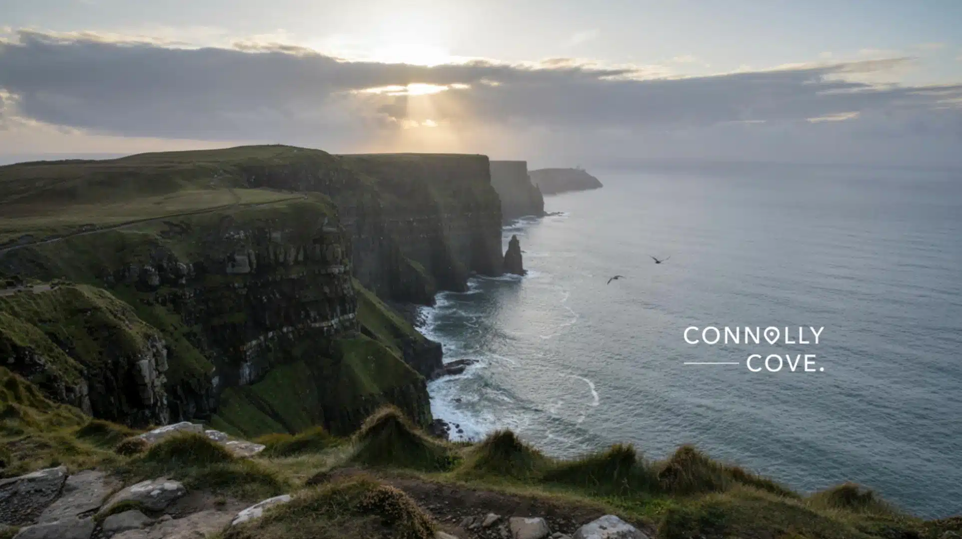
Slieve League has the sea cliffs that most people come for, and at close to 600 metres they rank among the highest in Europe, taller than their better-known cousins at the Cliffs of Moher. A gentle path leads to Bunglas viewpoint for anyone who wants the view without the exposure, while the One Man’s Pass route further along the ridge is only for confident walkers with a head for heights.
Malin Head marks the northern tip of the county and, in fact, the northernmost point of the island of Ireland. The wind here rarely stops, which is part of the appeal. Banba’s Crown, an old signal tower on the headland, gives sweeping views out over the open Atlantic with nothing between you and Iceland.
Glenveagh National Park sits inland, in the shadow of the Derryveagh Mountains, and covers a very different kind of landscape: glacial valleys, a private nineteenth-century castle, and one of Ireland’s last strongholds of golden eagles, reintroduced after decades of local extinction. It’s an easy half-day visit, with a shuttle bus running from the car park to the castle for anyone who doesn’t fancy the walk.
“There’s a moment on the road into Glencolmcille, when the mountains open up, and the sea appears without warning, that no photograph quite prepares you for,” says Ciaran Connolly, Founder of ConnollyCove. “It’s the kind of landscape that explains why the language and the old stories held on here longer than almost anywhere else in Ireland.”
Culture, Language and Myth in Donegal
Donegal holds one of Ireland’s largest Gaeltacht regions, meaning Irish is spoken as a living, daily language rather than a subject taught in school. Villages like Gweedore and Glencolmcille run summer Irish colleges that draw students from across the country, and it’s common to hear Irish spoken in shops and pubs long before English.
Travellers who want a head start before visiting can look at ConnollyCove’s Irish proverbs guide for the seanfhocail that still shape local speech, or the guide to how to say goodbye in Irish, since the everyday farewell in the Donegal Gaeltacht carries more weight than a simple wave. For anyone attending a wake or a funeral during their stay, the Irish farewell blessings guide explains the older, more formal blessings still used at moments like these.
Mythology runs just as deep through the landscape. Lough Derg, on the county’s southern edge, has drawn pilgrims for centuries to Station Island, long associated with St Patrick’s Purgatory, and some still complete the traditional barefoot penance there each summer. Further north, the ring fort at Grianan of Aileach, just over the county line in Inishowen, was once the seat of the Uí Néill kings and connects to the same mythological cycle covered in ConnollyCove’s guide to the Tuatha Dé Danann and its wider guide to Celtic mythology creatures.
“When we first walked the path up to Grianan of Aileach, we understood why a kingdom would choose that hilltop,” Connolly adds. “You can see three counties from up there, and it’s easy to believe it was chosen for more than just defence.”
The county’s craft tradition is worth a stop, too. Ardara, on the Wild Atlantic Way, has produced handwoven Donegal tweed for generations, and several small mills still welcome visitors to watch the process and buy directly from the weaver.
The O’Donnell Clan and Donegal’s History
Long before it was a tourist route, Donegal was the seat of one of Gaelic Ireland’s most powerful dynasties, and understanding the O’Donnells explains a good deal of what you see on the ground today, from the castle in the town centre to the placenames along the coast.
Donegal Castle and the O’Donnell Dynasty
Donegal Castle stands on the bank of the River Eske in the middle of the town, and it isn’t a ruin dressed up for visitors. The O’Donnell clan, rulers of the kingdom of Tyrconnell, built the original tower house here in the 15th century, and it remained their stronghold until the English crown seized it in the early 1600s. Sir Basil Brooke, who was granted the castle and surrounding land, later added a Jacobean-style wing that still sits, somewhat awkwardly, alongside the older Gaelic tower house.
The Flight of the Earls
In 1607, the O’Donnell and O’Neill earls left Ireland for the Continent from Rathmullan, a small port on Lough Swilly, not far from Letterkenny. Historians mark the Flight of the Earls as the effective end of the old Gaelic aristocratic order, and the departure still carries weight locally. A small heritage centre in Rathmullan covers the event for anyone travelling that far north.
The Diamond and Donegal Town
The Diamond, Donegal Town’s central square, developed under Brooke’s redevelopment of the town and remains the social hub today, ringed by pubs, shops and a monument to the Four Masters, the Franciscan friars who compiled Ireland’s early annals nearby. It’s as good a place as any to get your bearings before heading further into the county.
Planning Your Visit
Donegal rewards visits outside the summer peak. July and August bring the best weather odds and busiest roads, while late September and October offer dramatic skies, quieter beaches, and accommodation at lower rates. Winter has its own appeal for anyone chasing storms along the coast, though days are short and some rural attractions close entirely.
Pack for all four seasons regardless of when you travel. Donegal’s weather shifts quickly off the Atlantic, and a clear morning can turn to driving rain within the hour. A proper waterproof layer matters more here than almost anywhere else in Ireland.
For a base, Donegal Town offers the easiest access to the southern attractions and Sligo, while Letterkenny suits those focused on Glenveagh and the northern Gaeltacht. Both have a reasonable spread of guesthouses and small hotels, though booking ahead in summer is worthwhile since options thin out fast in the smaller villages.
Donegal isn’t a county to rush. The distances between its landmarks are longer than they look on a map, and the reward is in the driving as much as the destinations themselves. Give it at least three days if you can, start from Derry or Sligo depending on the rest of your trip, and leave room in the itinerary for a detour you hadn’t planned. Explore more of ConnollyCove’s Ireland travel guides for the counties nearby, or follow the YouTube channel for video routes through the northwest.
Why Donegal Deserves the Detour
Donegal isn’t a county to rush, and it rarely rewards a single flying visit. The distances between its landmarks are longer than they look on a map, and the appeal lies as much in the driving as in the destinations themselves. Give it at least three days if you can, start from Derry or Sligo depending on the rest of your route, and leave space in the itinerary for whatever you find along the way that wasn’t in the plan.
Explore more of ConnollyCove’s Ireland travel guides for the counties nearby, or follow the YouTube channel for video routes through the northwest.
Frequently Asked Questions
Quick answers to the questions travellers ask most before visiting County Donegal.
Is County Donegal in Northern Ireland?
No. Donegal is part of the Republic of Ireland, though it borders Northern Ireland and sits within the historic province of Ulster.
How do you pronounce Donegal in Irish?
The Irish name is Dún na nGall, pronounced roughly “doon-nuh-nGall,” meaning “fort of the foreigners.”
Do you need a car to see Donegal properly?
Yes, in practice. Public transport is limited outside Letterkenny, and most of the county’s landmarks sit well beyond any bus route.
What is County Donegal best known for?
Slieve League’s sea cliffs, Malin Head, and one of Ireland’s largest Irish-speaking Gaeltacht regions.