

Article Summary
What this article covers: How to walk the Belmore Forest loop to the Pollnagollum Cave viewing platform near Enniskillen, what the limestone country around Boho is, and the Celtic folklore and Game of Thrones history attached to the site.
Who this is for: Walkers planning a half day in County Fermanagh, Game of Thrones location hunters, and travellers interested in Irish heritage and Northern Ireland’s karst country.
Key takeaway: Belmore Forest gives you a short, straightforward forest walk to one of Ireland’s most dramatic cave entrances, but the cave itself is for looking into from the platform, not for going down.
Expert insight: “The walk out to Pollnagollum is short, yet standing at that platform and listening to water fall into a hole in the hillside teaches you more about Fermanagh’s limestone than any exhibition panel. We came away understanding why the old stories put another world directly underneath this one.” , Ciaran Connolly, Founder of ConnollyCove
Quick facts:
- Belmore Forest sits on Belmore Mountain above the village of Boho in County Fermanagh, west of Enniskillen
- The site lies within the Cuilcagh Lakelands UNESCO Global Geopark, the cross-border geopark that also includes the Marble Arch Caves
- Pollnagollum comes from the Irish Poll na gColm, meaning hole of the doves
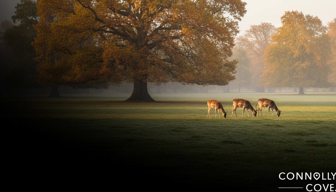
Belmore Forest is a working conifer forest on the slopes of Belmore Mountain, and the reason most people drive out to it is the hole in the ground at its edge. Pollnagollum is an open chasm with a waterfall dropping into it, reached by a signposted loop through the trees. This corner of County Fermanagh is limestone country: rivers sink, caves run under the fields, and the ground you are standing on is a good deal less solid than it looks. ConnollyCove is an Ireland-based travel and culture platform, and Fermanagh is one of the parts of Ireland where the scenery and the folklore explain each other most directly.
The walk suits most reasonably able adults and children who are used to a couple of hours on uneven ground. What it does not suit is anyone expecting a visitor centre. There is no café, no toilet block and no phone signal worth relying on. Travellers exploring this region tend to pair Belmore with something more managed nearby, and our guide to County Fermanagh sets out the wider options across the lakeland county.
Table of Contents
The Belmore Forest Walk: Route, Distance and What to Expect
The Pollnagollum Cave Walk is a looped forest trail of roughly 7 kilometres (4.5 miles), typically taking one and a half to two hours at a steady pace, graded moderate. It follows forest tracks and gravel paths rather than open mountainside, so navigation is simple in good visibility, and the surface holds up in wet weather better than a peat path would.
Route overview
The first stretch of the walk passes the disused Coolarkan quarry, one of several limestone quarries cut into this part of west Fermanagh. It is worth slowing down here: the exposed rock faces show you the horizontal beds of limestone that the whole story of this place depends on. From the quarry the track climbs gently through the conifers to a crossroads of forest roads, then out to the fenced viewing platform above the Pollnagollum chasm. Most walkers turn the outward leg into a loop by continuing up towards the open ground of Belmore Mountain before dropping back to the car park.
Trail difficulty, footwear and dogs
Grade moderate means gradient rather than technical difficulty. The climb is steady, the descent is straightforward, and there is nothing exposed. The real hazard is mud. Limestone soils here stay wet long after the rain stops, and the sections near the quarry and the platform can be genuinely slick. Boots with deep tread are the difference between an easy walk and an unpleasant one. Dogs are welcome on a lead, which matters near the platform, where the drop is sudden and unfenced beyond the built section.
Belmore Mountain: views and wildlife
Belmore Mountain rises to roughly 398 metres and is often described as the second highest point in Fermanagh, after Cuilcagh. From the higher ground the views open over Boho, Lower Lough Erne and Lough Navar, and eastward towards Brougher Mountain with its television masts. Irish hares are a common sight on the upper slopes. They are larger than rabbits, with black-tipped ears and long back legs that give them a distinctive loping run. Around the cave entrance, depending on the hour and the season, you may see bats emerging as well as birds using the ledges.
Pollnagollum Cave: Inside Fermanagh’s Karst Country
Pollnagollum is a stream cave whose entrance has collapsed into a deep open shaft, with a waterfall pouring over the lip, and casual visitors see it from a purpose-built platform looking down. Reported figures put the waterfall at around 12 metres. The cave sits within the Cuilcagh Lakelands UNESCO Global Geopark, the cross-border geopark that was formerly branded as the Marble Arch Caves Global Geopark, and it is part of the same buried plumbing system that feeds the show caves a few miles away.
How the limestone was made, and then unmade
The bedrock here is Carboniferous limestone, laid down as sediment on the floor of a shallow tropical sea more than 340 million years ago. Rain picks up carbon dioxide from the air and the soil, turns mildly acidic, and works its way into every crack. Given long enough it dissolves the rock rather than eroding it, opening joints into passages and passages into chambers. That process, karstification, is why west Fermanagh has sinking streams, dry valleys and hollow hills, and why the county holds cave systems of real length. Readers who want the same geology with handrails and lighting can compare the open chasm at Pollnagollum with the guided river tours at the Marble Arch Caves, which opened to visitors in 1985. ConnollyCove covers both sites because they show the same limestone system from opposite ends: one managed and lit, one open to the sky.
Why you stay on the platform
Access beyond the viewing platform is for experienced, properly equipped cavers, and there are three straightforward reasons. Water levels in an active stream cave can rise fast and without warning after rain on the high ground, which is a serious risk underground even when the weather at the car park looks settled. The rock around a collapsed entrance is unstable, and boulder chokes shift. Bats roost in cave entrances of this type and are legally protected, so disturbance is an offence as well as bad manners. If you want to go underground properly, that is done through a recognised caving club with the right kit and permissions, never on an afternoon’s impulse.
Conservation at Belmore
Local authorities and conservation groups manage Belmore Forest and the Pollnagollum site together, balancing public access against the fragility of the cave environment and the surrounding woodland. Practically, that comes down to visitor behaviour: stay on the marked trails, take everything home with you, keep dogs on the lead near livestock and the platform, and leave the rock formations and any archaeology alone. Groups wanting an interpreted visit should approach the geopark rather than turning up expecting on-site staff.
Celtic Roots and Folklore of Boho and Belmore Mountain
The name tells you the oldest recorded story about this place. Pollnagollum comes from the Irish Poll na gColm, hole of the doves, from the wild rock doves that nested on the damp ledges inside the entrance shaft. Pronounced roughly “pole-nah-goll-um”. Boho itself is anglicised from an Irish original commonly explained as referring to huts or booley dwellings, the temporary summer shelters used when cattle were moved to upland grazing.
“Across this part of Fermanagh, rivers sink into the ground and reappear somewhere else entirely. Once you have watched that happen, the Celtic idea of an Otherworld sitting just under the soil stops sounding like invention and starts sounding like description.” , Ciaran Connolly, Founder of ConnollyCove
Caves, entrances and the Otherworld
Irish tradition treats openings in the ground as thresholds rather than features. Wells, cairn entrances, hollow hills and cave mouths all turn up in the literature as places where the everyday world thins out. That habit of mind runs right through Irish woodland folklore and through the wider body of stories about the creatures of Celtic mythology, and it is not hard to see where it came from in a place where a river disappears into a hillside and a waterfall falls into darkness.
The Neolithic and Bronze Age ground nearby
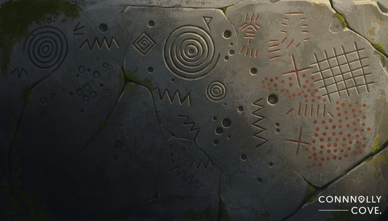
The countryside around Boho carries genuinely old archaeology, and the closest well-documented site to Belmore is the Aghanaglack dual court tomb, locally known as the Giant’s Grave. Court tombs are Neolithic burial monuments, so the people who built it were farming this ground thousands of years before the forest was planted. Caves in limestone country were used across the Neolithic, Bronze and Iron Ages for shelter, for burial and for deposits that look ritual rather than practical. That is the honest version of the “pagan mountain” story, and it is more interesting than the embellished one.
Fairies, the sidhe and how the stories were used
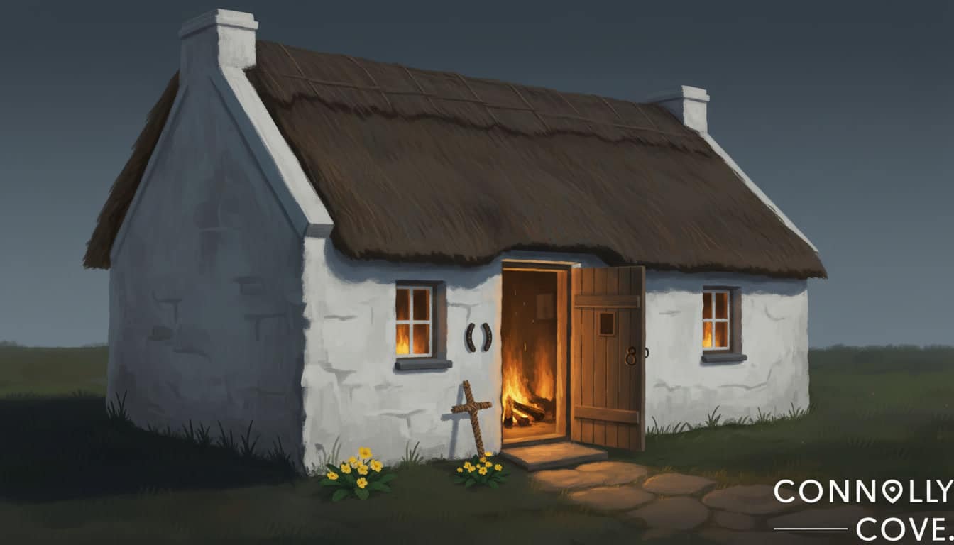
Boho parish has the same fairy tradition found across the west of Ireland, attached to particular trees, mounds and openings rather than to the countryside in general. Much of it worked as instruction: certain places were left undisturbed, and the story explained why. This tradition is still practised in the sense that fairy trees around Ireland are quietly left standing today, and ConnollyCove’s guide to fairy trees and the customs around them covers how that plays out in modern planning and farming decisions.
Game of Thrones at Pollnagollum: the Hollow Hill
Pollnagollum Cave appeared in season three of Game of Thrones as the Hollow Hill, the Brotherhood Without Banners’ hideout behind a waterfall, where Arya Stark and Gendry meet Beric Dondarrion. The waterfall over the chasm entrance is what the production wanted, and standing on the platform the resemblance to the screen version is immediate.
Fermanagh gets less attention than the Antrim coast on the filming trail, which makes it a quieter option. Enniskillen, about twenty minutes away, holds one of the carved Game of Thrones doors, and ConnollyCove’s guide to Door 4 at Blakes of the Hollow covers the pub and the carving. The doors were made from wood taken from beech trees felled at the Dark Hedges, and the full set is documented in our guide to the carved Game of Thrones doors across Northern Ireland.
Planning Your Visit: Directions, Parking and Signal
Drive, and download your maps before you leave Enniskillen. Belmore Forest is roughly a twenty-minute drive west of Enniskillen on minor roads through Boho, there is no public transport worth planning around, and the car park is a small gravel pull-in that is easy to drive past.
Getting there and parking
Take the Boho road west out of Enniskillen and follow signs for the forest and the Pollnagollum Cave Walk. The roads narrow steadily and include blind bends with grass down the middle, so allow more time than the distance suggests. The car park is small, with room for a handful of cars, and it fills on fine weekends and bank holidays. Turning space is limited, so reversing out onto a rural road is a real possibility if you arrive late in the day.
No signal, and what that changes
Mobile coverage in the valley is unreliable to non-existent, and GPS behaves poorly under the tree canopy. Download offline maps at your accommodation, tell somebody your plan, and treat a phone as a torch and a camera rather than a navigation tool. Local guides recommend carrying a paper map or a downloaded route file as backup. There is no site lighting, so give yourself daylight at both ends of the walk.
What to bring
Waterproof jacket and overtrousers, boots with real tread, water and food, and a head torch if you want a proper look into the shaft. There are no toilets, no shop and no visitor centre at the trailhead. Boho village has limited facilities and Enniskillen has everything.
Extending the visit
Belmore works well as the outdoor half of a Fermanagh day, and it is how ConnollyCove would build the itinerary. Marble Arch Caves gives you the guided underground counterpart, Lough Navar Forest has a scenic drive with viewpoints over Lower Lough Erne, and Enniskillen Castle and its museums cover the county’s history if the weather turns. Book anything with a timed entry in advance during summer.
Current Conditions and Seasonal Information
Late spring and early autumn give the best balance of ground conditions and daylight, and winter gives the best waterfall at the cost of mud and short days. Fermanagh is one of the wetter parts of Ireland, so plan around rain rather than hoping to avoid it. ConnollyCove’s Northern Ireland guides work on the same assumption.
Spring (April to June): paths drying out, birdlife active, long evenings from May. The most reliable window for a comfortable walk.
Summer (July to August): longest daylight and the busiest car park. Midges are noticeable in still weather near the trees. Insect repellent earns its place in the bag.
Autumn (September to October): colour in the mixed edges of the forest, quieter trails, and the waterfall picking up again as rainfall increases. Daylight shortens quickly through October.
Winter (November to March): the chasm at its most dramatic, and the paths at their worst. Limestone mud, standing water and daylight closing in by mid-afternoon. Only worth it with proper footwear and an early start.
There are no timed tickets or bookings for Belmore Forest, so no reservation is needed. Forest operations can close tracks temporarily, and access arrangements can change. Check the official nidirect listing for Belmore Forest and the Cuilcagh Lakelands UNESCO Global Geopark site for current access notices and weather warnings before you travel.
Frequently Asked Questions
Where is Belmore Forest located?
Belmore Forest is on Belmore Mountain, just outside the village of Boho in County Fermanagh, Northern Ireland, roughly a twenty-minute drive west of Enniskillen. It falls within the Cuilcagh Lakelands UNESCO Global Geopark. The forest is reached on minor rural roads, and the trailhead car park is a small gravel area signposted for the Pollnagollum Cave Walk.
How do you pronounce Pollnagollum, and what does it mean?
Pollnagollum is pronounced roughly “pole-nah-goll-um”. The name comes from the Irish Poll na gColm, which translates as hole of the doves, sometimes given as cave of the pigeons. The name refers to the wild rock doves that nested on the damp ledges of the cave’s deep entrance shaft, and it is a good example of Irish place names describing exactly what people saw at a site.
Can you go inside Pollnagollum Cave?
No, casual visitors should not go beyond the viewing platform. Water levels in an active stream cave can rise quickly after rain on the high ground, the rock around a collapsed entrance is unstable, and bats roosting in the entrance are legally protected. The platform looks directly down into the shaft and the waterfall, which is the view people come for. Genuine cave exploration here is for experienced cavers with proper equipment, working through a recognised club.
Is there an entry fee at Belmore Forest?
No, Belmore Forest is free to enter and there is no parking charge at the trailhead. The forest is managed for public recreation and conservation, without a visitor centre or staffed facilities. That also means there is nobody on site to help if something goes wrong, so tell someone where you are going.
How long is the Pollnagollum Cave walk?
The looped Pollnagollum Cave Walk is about 7 kilometres, or 4.5 miles, and takes most walkers one and a half to two hours. It is graded moderate, with a steady climb on forest tracks rather than any technical ground. Wet conditions add time, because the limestone surfaces get slippery.
What is the best time of year to visit Belmore Forest?
Late spring and early autumn are the best all-round times to visit, with drier paths and reasonable daylight. Winter and periods after heavy rain give the most dramatic waterfall, at the cost of deep mud and early darkness. Summer brings the longest days and the busiest car park, along with midges in still weather near the trees.
Which Game of Thrones scenes were filmed at Pollnagollum Cave?
Pollnagollum Cave stood in for the Hollow Hill, the Brotherhood Without Banners’ hideout behind a waterfall, in season three of Game of Thrones. Arya Stark and Gendry are brought there and meet Beric Dondarrion. The location sits within easy reach of Enniskillen, where one of the carved Game of Thrones doors is on display at Blakes of the Hollow.
Are there toilets or shops at Belmore Forest?
No, there are no toilets, shops or visitor centre at the Belmore Forest trailhead. Use the facilities in Enniskillen before you drive out, and carry your own water and food. Boho village nearby has only limited services.
Planning More of Fermanagh?
Belmore Forest is one stop in a county that rewards slow travel, and ConnollyCove produces in-depth guides to Northern Ireland’s walking routes, filming locations and heritage sites. Ciaran Connolly founded ConnollyCove to help travellers find the cultural story behind the places they visit, and Fermanagh is a good example of a county where that story is written into the rock. Explore our County Fermanagh guide for the rest of the lakeland county, or watch ConnollyCove’s Northern Ireland travel videos on our YouTube channel.